See More. Assess Faster.
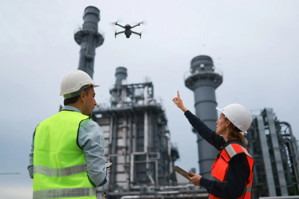
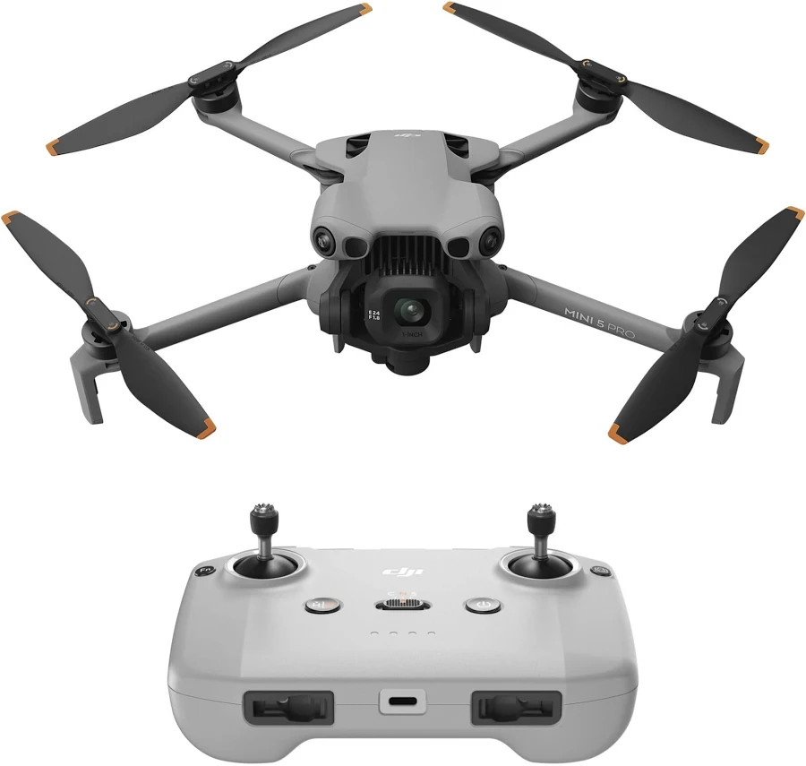
Get a clearer view of hard-to-reach areas with aerial drones designed for surveying, inspection, mapping, and field assessment. Capture detailed aerial imagery, explore difficult terrain, and gather information from above without putting people or equipment in challenging environments.
How Drones Help?
Survey & Map Areas
Capture aerial views of properties, landscapes, construction sites, and hard-to-reach areas to better understand the space you’re working with.
Inspect From Above
Get a closer look at rooftops, structures, equipment, terrain, and other areas that may be difficult or unsafe to access directly.
Agriculture & Land Monitoring
Monitor fields, crops, irrigation areas, and large properties from above to get a broader view of your land.